Over the past week and a half we have crossed the equator, back and forth, several times. Today we visited at the actual equator monument here in Quito. First the old site determined in the 1800 then the real site according to GPS. At the real line they did a little water exercise to show the affects of water draining in the north and south hemisphere. On the actual line the water goes straight down the pipe, at least it did in the demonstration. When they moved the pan of water 10 feet to the south it went down the drain clockwise and when they moved the pan of water 10 ft north of the line it went down the drain counter clockwise. But I call BS as it look like the pan was level on the line but slightly sloped at the demonstration sites for the north and south hemisphere. 10 ft can’t make that kind of difference besides I think it isn’t actual true according to a book I read. (that is just me.) However it did do in the demonstration.
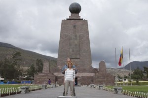
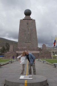
OK here is the old monument and the line:


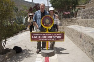
Now the real line: the ability to use GPS to establish the actual line moved it 150 ft to the north. This is where they did the demo on the water draining from the pan.
